
Content block block-2103547629-1776996568
OC Environmental Resources oversees a wide array of programs designed to assess the condition of the surface water environment in Orange County. The OC Monitoring and Data Assessment division manages (1) environmental monitoring, (2) hydrology monitoring, which includes rainfall and stream data across Orange County, including information on recent and historic storm events, and (3) Geographical Information System (GIS) data.
Environmental Monitoring
Environmental monitoring programs are carried out on behalf of the County of Orange, Orange County Flood Control District (OCFCD), and the 34 cities within Orange County. These monitoring efforts aim to comply with the National Pollutant Discharge Elimination System (NPDES) Permitting Program and the Total Maximum Daily Loads (TMDLs) mandated by the Santa Ana and San Diego Regional Water Boards. Additionally, the division supports the development and implementation of special monitoring studies, and participation in regional monitoring initiatives, such as the Stormwater Monitoring Coalition (SMC) and the Southern California Bight Regional Monitoring Program. For more information about the monitoring programs in each region, please refer to the links below:
Hydrology Monitoring
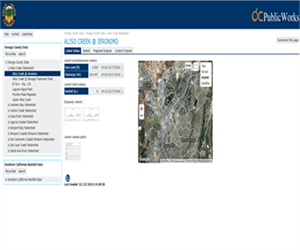 | A network of rainfall and stream gauge stations, which comprise the Automated Local Evaluation in Real Time (ALERT) system, located throughout Orange County are managed to assist with flood detection, storm tracking, environmental monitoring, and water resource management. The Hydrology Data Portal provides access to current and historic rainfall and stream gauge data. A Rain Report is developed after each rainfall event. The Rain Data Report folder provides access to current and historical rain reports. |
GIS data
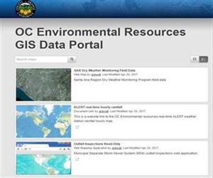 | OC Environmental Resources GIS Data Portal provides access to a number of interactive maps and GIS data. |
Data Requests
All data requests should be submitted through MyOCeServices. Please select the "Information Only" service request category.